Why Every Project Needs a Licensed Land Surveyor
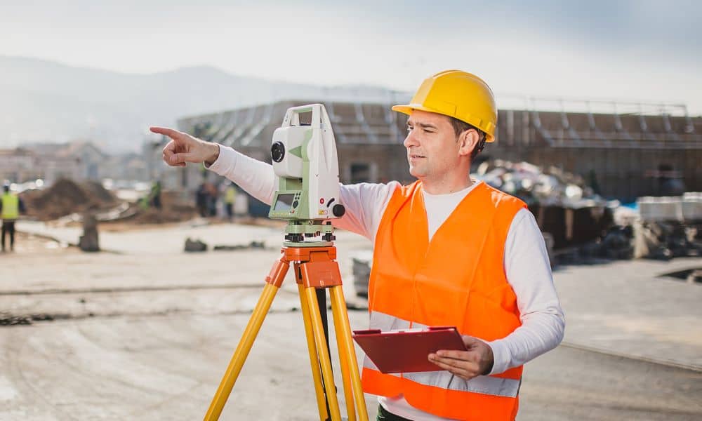
Construction in Tampa feels busy right now. New homes rise in South Tampa. Mixed-use buildings expand near Westshore. Renovations fill older neighborhoods like Seminole Heights. However, behind the cranes and concrete trucks, one big problem is slowing projects down: Florida’s skilled labor shortage. Contractors are booked out for months. Engineers juggle heavy workloads. Permit offices […]
Looking for Land Survey Companies Near Me? Read This First
When people search for land survey companies near me in Tampa, they usually face a time-sensitive decision. Maybe a fence project is coming up. Maybe a permit office asked for a survey. Sometimes a neighbor disagreement pushes things forward. No matter the reason, most owners reach out before they fully understand what they need. That […]
Professional Land Surveyor: Evidence That Ends Disputes
Property line fights rarely start big. Instead, they begin with something small. A neighbor moves a stake. A new driveway looks too close. A shed appears near the edge of a yard. Then voices rise, screenshots come out, and both sides feel completely sure they are right. You’ve probably seen these arguments online. Viral videos […]