How Survey Mapping Determines City District Boundaries

Tampa continues to grow. New homes appear, businesses expand, and neighborhoods change. Because of that growth, the city must update its district boundaries. These boundaries decide which city council member represents each area. However, drawing those lines does not happen randomly. City planners rely on survey mapping to guide the process. Accurate maps help officials […]
Why a Developer Ordered an ALTA Survey After Flood Concerns

Tampa keeps growing fast. New apartments, stores, and offices appear across the city every year. Because of this growth, developers often look for land where they can build their next project. At first glance, many sites look ready for construction. However, the land can hide problems that are not easy to see. Recently, a Tampa […]
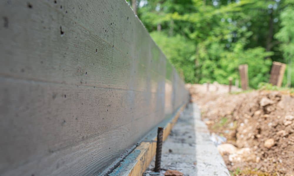
Why Property Line Markers Matter in 2026’s Housing Boom
Tampa is growing fast. New homes rise in South Tampa. Investors split lots in Seminole Heights. Families add pools in Riverview. At the same time, fences pop up across Carrollwood and Westchase. Because of this rapid growth, one small detail now causes big problems: property line markers. Most homeowners don’t think about them until trouble […]