Licensed Surveyor: Why Waterfront Permits Get Delayed
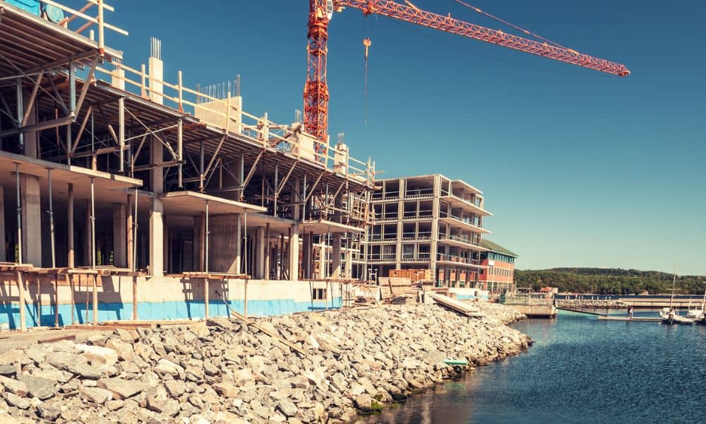
If you own a waterfront property, you might be planning something exciting. Maybe you want to build a dock, repair a seawall, or improve your shoreline. At first, it feels simple. You picture a quick process—get plans done, submit a permit, and start construction. However, many property owners are now running into a frustrating reality. […]
Find Property Lines Before Replacing a Fence
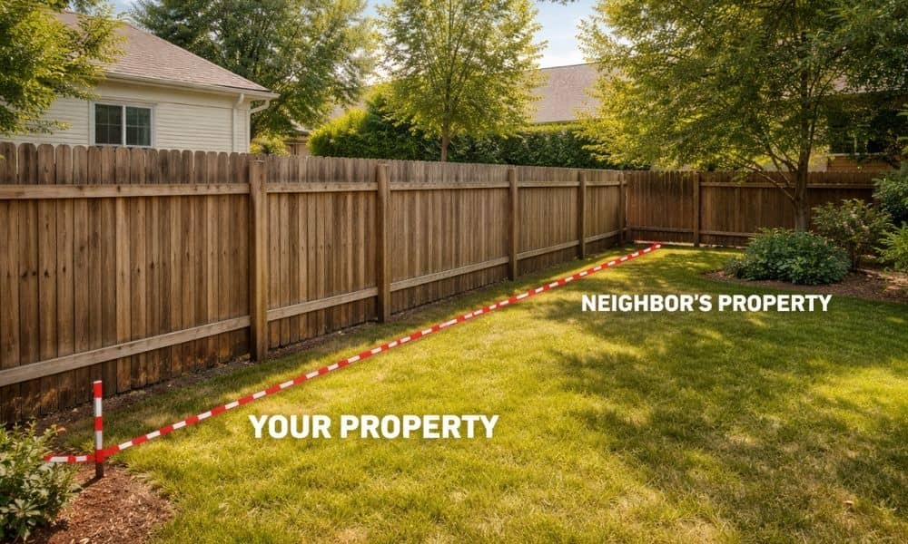
You’re ready to replace your fence. Maybe it’s leaning, broken, or just old. However, before you call a contractor, there’s one step you can’t skip—you need to find property lines first. Most people don’t think about it right away, but you really need to know where your property lines are before making any changes. Many […]
How Survey Mapping Determines City District Boundaries

Tampa continues to grow. New homes appear, businesses expand, and neighborhoods change. Because of that growth, the city must update its district boundaries. These boundaries decide which city council member represents each area. However, drawing those lines does not happen randomly. City planners rely on survey mapping to guide the process. Accurate maps help officials […]