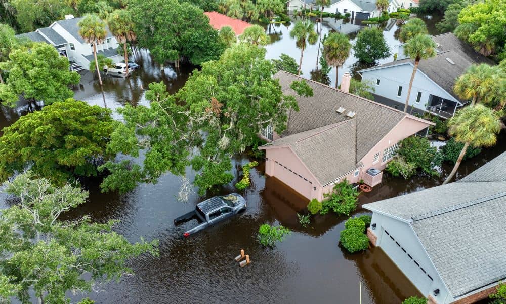
NFIP Delay Threatens Closings: Elevation Certificate Guide

When the National Flood Insurance Program (NFIP) hit a temporary delay at the end of September, homebuyers felt it right away. Closings were paused. Lenders froze approvals. Insurance agents couldn’t issue new policies. For anyone buying or refinancing a home near the bay, that single federal lapse caused real stress. And right in the middle […]
How New Drone Laws Are Changing Drone Surveying

If you work in construction, development, or real estate, you’ve probably seen how much faster projects move with drone surveying. Survey drones can map a job site in a fraction of the time it takes with traditional ground methods, and they give clear aerial data that helps engineers, architects, and lenders make decisions. Just last […]
Boundary Survey: Clear Answers for Flood Zone Confusion
If you’ve ever been told that only part of your lot is in a flood zone, you already know the headache that follows. Insurance companies, lenders, and even neighbors may give you different answers about what this means. Some homeowners hear they must buy expensive flood insurance, while others are told they might not need […]