Prove Your Property Line with Drone Surveying
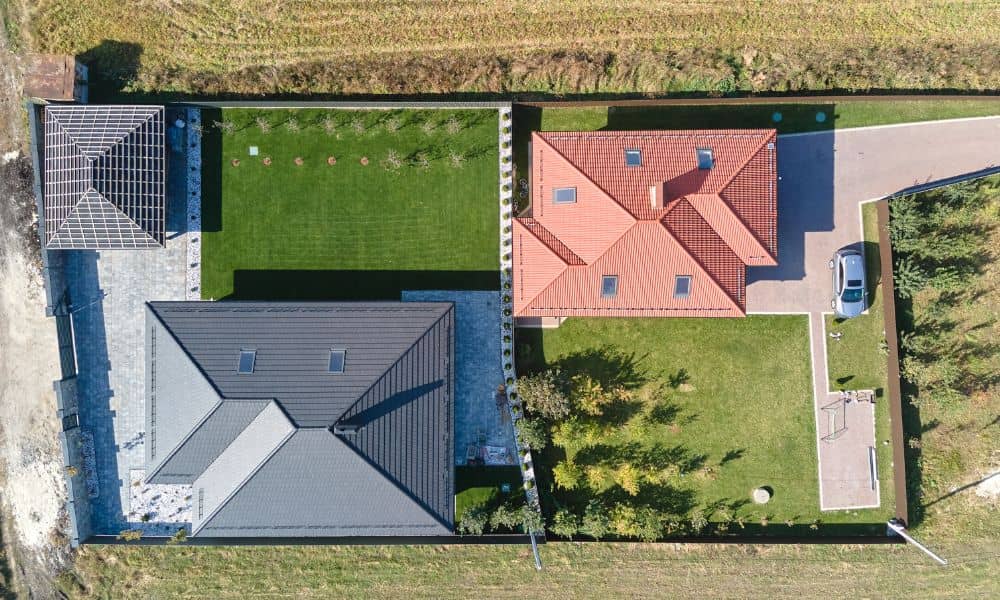
It starts like this: you come home one afternoon and notice your neighbor has planted a neat row of shrubs — right where your fence used to be. You both swear the land is yours. A few heated words later, you’re scrolling Reddit, reading about other homeowners fighting over inches of grass and tree roots. […]
How Licensed Land Surveyors Power Drainage Projects
If you’ve driven around Tampa lately, you’ve probably seen lane closures near Kennedy Boulevard or I-75. They might seem annoying, but those orange cones mark something important. Crews are fixing Tampa’s drainage system to stop flooding. While most people notice the big trucks and heavy machines, it’s the licensed land surveyors who quietly make sure […]
Rezoning Rush: Why Your ALTA Survey Takes Longer
If you’ve been following Tampa’s growth, you’ve probably seen what’s happening in South Tampa. The old Britton Plaza area along South Dale Mabry Highway is getting a major makeover, and it’s just the start of a wave of redevelopment across the city. For property investors, builders, and lenders, that sounds like progress. But for anyone […]