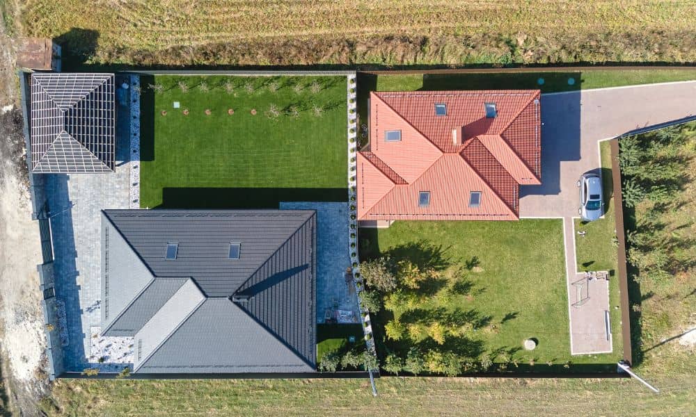
Prove Your Property Line with Drone Surveying

It starts like this: you come home one afternoon and notice your neighbor has planted a neat row of shrubs — right where your fence used to be. You both swear the land is yours. A few heated words later, you’re scrolling Reddit, reading about other homeowners fighting over inches of grass and tree roots. […]
How New Drone Laws Are Changing Drone Surveying

If you work in construction, development, or real estate, you’ve probably seen how much faster projects move with drone surveying. Survey drones can map a job site in a fraction of the time it takes with traditional ground methods, and they give clear aerial data that helps engineers, architects, and lenders make decisions. Just last […]