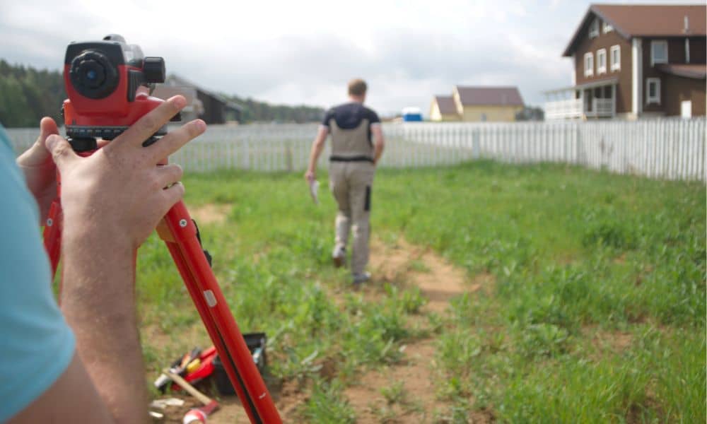
How Drone Surveyors Help Verify Boundary Markers

Drone surveyors are changing how people check property lines. Boundaries may look like small details, but they control where you can build, where fences go, and even how much land you can sell. Over time, markers can move, get covered, or even disappear. When that happens, drone surveyors make it easier to see exactly where […]
When a Flood Elevation Survey Becomes Mandatory
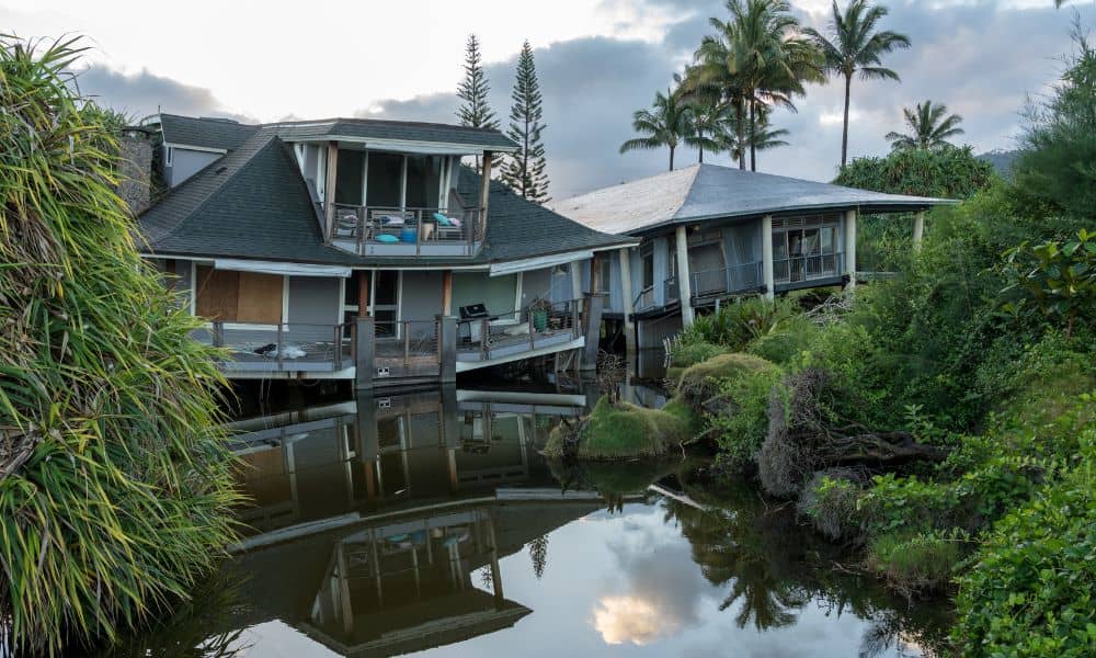
A flood elevation survey probably isn’t the first thing on your mind when you’re looking at homes in Tampa or planning to build. But if you’ve lived here long enough, you know flooding is part of life. Between summer downpours, hurricanes, and storm surges, water can creep up fast. That’s why lenders, insurers, and even […]
How to Update an Old Boundary Survey
If you own property, you’ve probably heard about something called a boundary survey. It’s basically a map that shows exactly where your land starts and ends. But here’s the thing — if your survey is old, it might not be accurate anymore. That can lead to some real headaches down the road, especially when it […]