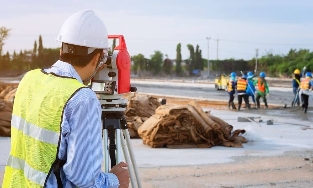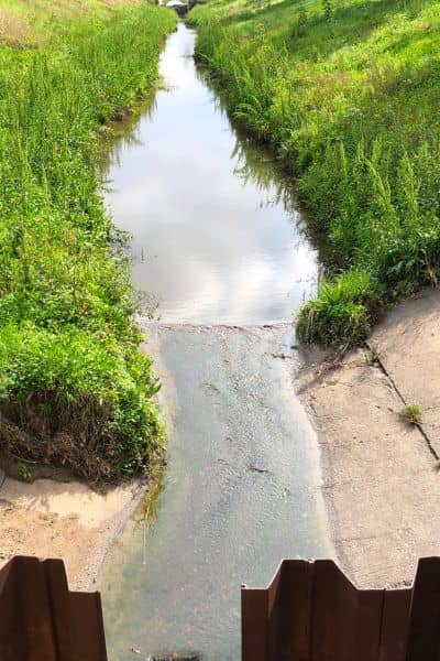
If you’ve driven around Tampa lately, you’ve probably seen lane closures near Kennedy Boulevard or I-75. They might seem annoying, but those orange cones mark something important. Crews are fixing Tampa’s drainage system to stop flooding. While most people notice the big trucks and heavy machines, it’s the licensed land surveyors who quietly make sure everything lines up perfectly — from pipes to curbs to slopes.
These professionals are the backbone of every flood-control and road-drainage project. Their careful measurements keep water flowing the right way and stop it from ending up where it shouldn’t — like in your yard or garage.
Seeing the Work Beneath Tampa’s Streets
Tampa’s low-lying land and summer storms make flooding a big problem. Even small mistakes in elevation can lead to pooling water and costly damage. That’s why licensed land surveyors get involved before any digging starts.
Their first job is to set up a control network — a system of fixed points across a project site. Think of it like the GPS backbone of a construction job. Every engineer and contractor depends on those points to measure and build accurately. Without them, drainage projects would turn into messy, expensive guesses.
When surveyors set up the control network, they carefully pick spots that won’t shift during construction. Each point has an exact coordinate and elevation that ties into official maps. Once it’s ready, all other work depends on it.
Turning Data into Real Drainage Systems
After building the control network, licensed land surveyors start the pre-construction topographic survey. Using GPS equipment, total stations, and sometimes drones, they measure the land — every slope, ditch, and utility cover.
That detailed map helps engineers design how stormwater will flow — from the streets to pipes, through manholes, and into safe outfalls. Even a one-inch mistake can make water move the wrong way. Surveyors make sure every line and slope are correct before the first shovel hits the ground.
When construction begins, they shift to staking. This means marking the exact spots where crews should dig or build. Every drain, pipe, and manhole gets a stake linked back to the control network. These markings guide workers on depth, slope, and direction — turning the design into a real, working system.
How Control Networks Keep Tampa Dry

Imagine a drainage project near Westshore. The plans call for pipes with a slope of just half a foot for every 100 feet — that’s precise! If the slope is even a little off, water might back up or flood the street. The control network makes sure that doesn’t happen.
Surveyors check elevations constantly during construction. If something is too high or too low, they catch it early. They also do as-built surveys to confirm that everything matches the approved plans before the project is finished.
Because of that accuracy, licensed land surveyors save time, money, and stress. Their control networks help drainage projects work correctly for decades.
The Tools That Keep Projects Precise
Modern surveyors don’t rely on guesswork. They use GNSS receivers (a form of satellite GPS), robotic total stations, and even drones to measure within fractions of an inch. These tools send data straight into design software so everyone — from surveyors to engineers — stays on the same page.
Drones make large or hard-to-reach areas safer and faster to survey. They can map miles of roadway in just hours, helping surveyors check slopes and grades before problems appear.
Still, it’s not just about technology. A licensed land surveyor’s skill matters most. They know heat, humidity, and soft soil can affect measurements — and they know exactly how to correct for it.
Why Mistakes Cost Big
Surveying may seem like a small part of the job, but one wrong measurement can lead to major rework. Picture this: a drain near Bayshore is built two inches too high. The street floods, repairs begin, and everyone loses time and money.
That’s why licensed land surveyors are so important. They don’t just measure — they protect the project from risk. Their reports are also used for permits, inspections, and city approval. When they get it right, everyone benefits.
Surveying Beyond the Highways
These control networks aren’t only for big highway projects. The same surveying methods help with:
- Neighborhood drainage systems
- Commercial parking lot grading
- Residential flood-elevation checks
Homeowners often need elevation certificates to prove their property’s height above flood level. Builders need survey staking to make sure water drains properly around homes or driveways. Licensed land surveyors bring the same accuracy to all of these jobs — big or small.
Whether it’s a subdivision or a new shopping plaza, a project built on good survey control will always perform better and cost less to maintain.
The Unsung Heroes of Flood Prevention
Next time you see crews along Kennedy Boulevard or I-75, remember that while heavy equipment does the digging, it’s the surveyors who guide every move. Their control networks link design, construction, and inspection together so Tampa’s drainage systems can do their job year after year.
In a city that battles heavy rain and coastal flooding, licensed land surveyors are true problem-solvers. They combine hands-on skill with advanced tools to protect homes, roads, and businesses.
If you’re planning a project that touches the ground — whether it’s a small site or a major development — make your first call to a licensed land surveyor. Their precision keeps dry, safe, and ready for whatever the next storm brings.